In my recent interactions with Divisional Forest Officers and senior officials, one question repeatedly comes up:
“We already issue felling permissions, maintain compartment records, and generate delivery orders. Why is that not sufficient for EUDR?”
The answer lies not in legality — but in format and structure.
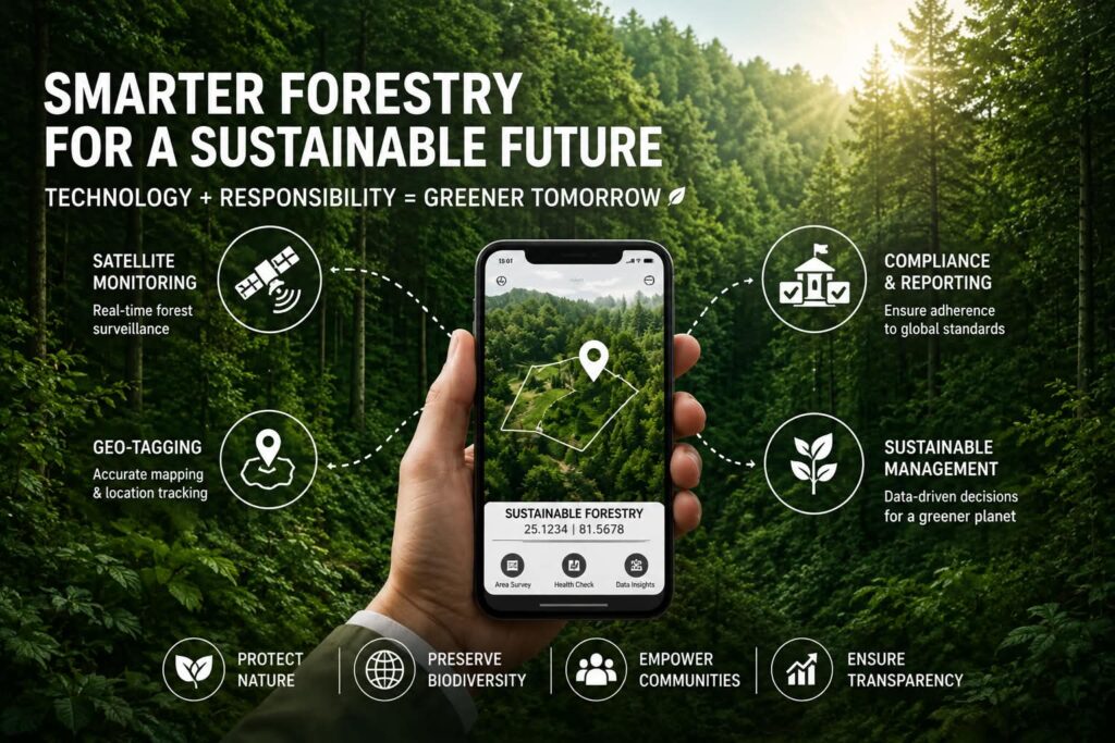
The European Union Deforestation Regulation requires operators placing timber on the EU market to provide:
- Precise geolocation coordinates
- Polygon mapping for plots above 4 hectares
- Confirmation of no deforestation after 31 December 2020
- A formal due diligence statement
Traditional forestry documentation describes where timber is harvested.
EUDR requires it to be digitally mapped and satellite-verifiable.
What Forest Departments Already Do Right
Forest Departments maintain a strong administrative backbone:
- Approved Working Plans
- Compartment and coupe demarcation
- Felling permissions
- Depot intake registers
- Transit passes
- Tender documentation
- Delivery Orders
These systems ensure legal traceability within the national framework.
However, compartment numbers and locality descriptions cannot automatically generate latitude–longitude polygons. The data exists — but it is not structured for geospatial compliance output.
This gap is technical, not institutional.
The Risk of Downstream Reconstruction
Currently, exporters and buyers attempt to reconstruct geolocation data from departmental records through:
- Manual GPS visits
- Third-party mapping exercises
- Interpretation of boundaries
This leads to inconsistencies, higher costs, and compliance risks. More importantly, it shifts the burden away from the source authority — the Forest Department.
If geolocation capture begins at the stage of:
- Felling approval
- Coupe boundary marking
- Depot registration
- Tender release
- Delivery Order issuance
then spatial intelligence originates at the source. That single shift changes the compliance landscape entirely.
The Detroit–Dilify Model: Technology + Sustainability in One Frame
This is precisely where the Detroit–Dilify Model becomes relevant.
Through my dual role as Country Head – Dilify and CEO – Detroit Consultancy, we have structured an implementation framework that combines:
- Ground-level technology deployment
- Sustainability and regulatory expertise
- Administrative process integration
- Capacity building for field officers
Dilify provides the technology backbone:
- App-based polygon capture
- Secure GPS validation
- Satellite-based land-use analysis
- Automated EUDR-aligned risk assessment
Detroit Consultancy brings:
- Regulatory interpretation
- Forest-sector process mapping
- Compliance structuring
- Implementation support at departmental level
The strength of this model lies in integration. It does not introduce parallel systems. It enhances existing forestry workflows by embedding geolocation capture into routine administrative checkpoints.
This ensures that technology transition happens at the ground level — not just at policy level.
Why This Matters Strategically
When Forest Departments generate structured geolocation data:
- Exporters receive compliance-ready information directly from source.
- International buyers gain confidence in jurisdictional governance.
- The state positions itself as a low-risk sourcing region.
- Monitoring transparency improves internally.
EUDR is not merely a trade regulation. It represents a global shift toward satellite-verified accountability.
Departments that proactively integrate geospatial systems will lead — not react.
A Practical Way Forward
The transition does not require a new law. It requires:
- Structured GPS polygon capture during field inspections
- Digital linking of coordinates to compartment and coupe records
- Standardized geo-output formats for tender and delivery documentation
- Basic capacity building for officers
The foundation is already present within the Forest Department framework.
The opportunity now is to convert descriptive forest governance into spatially verifiable governance.
Closing Perspective
The global timber market is changing. Compliance expectations are data-driven, technology-enabled, and satellite-backed.
The critical question is:
Will geolocation intelligence originate from the Forest Department —
or continue to be reconstructed later under export pressure?
The Detroit–Dilify Model offers a practical bridge between traditional forestry administration and modern geospatial compliance systems aligned with the European Union Deforestation Regulation.
Forest governance has always been about stewardship.
Today, stewardship must also be digital.
Departments open to structured pilot discussions and ground-level implementation are welcome to engage further.